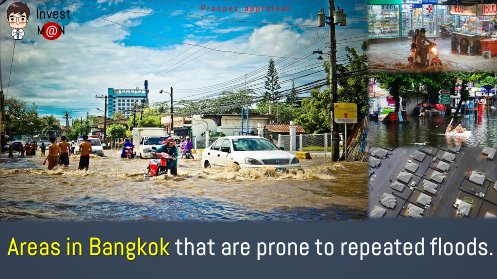
We have seen the issue of flooding becoming a hot topic again. Hence, Invest:MaN would like to discuss more about the flooding, same old problem in Bangkok. It feels like Bangkokers has been dealing with this forever. One is fair to say that whenever there’s rain, there’s flood, the only question is how bad. Therefore, before buying real estate; houses, condominiums, and etc, buyers should first know which area in Bangkok is prone to flooding. It helps the decision to buy a home for living or an investment property, such as vacant land, provide peace of mind for residents or investors, who may experience a loss when property prices fall due to water problems.
Ever wondered why the flood problem in Bangkok persists?
According to a source from TQM, Dr. Sirilak Chomchuen, Chairman of the Sub-Committee of Water Resources Engineering Institute of Thailand (EIT) stated 3 factors that caused the Bangkok floods.
- The excess water mass from the northern region, caused by rainfalls which flows into Bangkok as a passage before draining into the sea.
- The rise of sea level which forces a fair amount of water to flow back into the drainage pipes combined with the city’s lack of water catchment / receiving areas which could help relieve flooding.
- Many areas in Bangkok are lowlands, therefore, only slightly above the sea level. Moreover, these areas usually look like a basin in nature whereby rainwater is easily trapped on the roads.
The above problems are only made worse by the persistent problem of public littering. Streetwalkers, households, shops and restaurants tend to dispose of garbage and food debris on the street or roadside. These waste are washed aways when rain comes down and ends up clogging up the drain pipes which are relatively small, not designed to handle the long-period of heavy rain Bangkok usually experiences today.
Let’s take a look at which parts of Bangkok are prone to flooding
12 districts to avoid due to the past record of being flooded repeatedly, including:
- Taling Chan
- Thaweewattana
- Bang Phlat
- Bang Khae
- Phasicharoen
- Nong Khaem
- Don Mueang
- Bang Khen
- Sai Mai
- Laksi
- Chatuchak
- Khlong Sam Wa
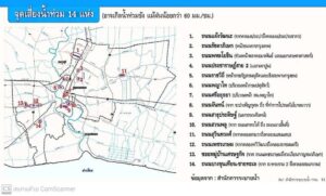
Bangkok Drainage Office also identify 14 roads that often encounter repeated floods, including:
-
- Chaengwattana Road, from Khlong Prapa to Khlong Prem Prachakorn
- Ratchadaphisek Road, in front of Bangkok Bank
- Phaholyothin Road, in front of Amon Phan Market and Kaset Intersection
- Pracharat 2 Road, Tao Poon Intersection Area
- Rajavithi Road, in front of Suan Dusit Rajabhat University and the foot of Krungthon Bridge
- Phaya Thai Road, in front of the Department of Livestock Development
- Sri Ayutthaya Road, in front of Phayathai Police Station
- Chan Road, from Soi Bamphen Kuson to Yan Nawa Post Office.
- Suan Phlu Road, from South Sathorn Road to Nang Linchi Road
- Sathu Pradit Road, at Chan Road Intersection
- Suwinthawong Road, from Khlong Sam Wa to Khlong Saen Saeb
- Phetkasem Road, from Thawi Watthana Canal to Ratchamontri Canal
- Soi Village Setthakit, from Petchkasem Road to Kanchanaphisek Roundabout
- Bang Khun Thian-Chai Tha-le Road, from Rama 2 Road to Sakae Ngam Canal
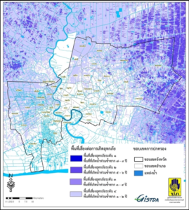
12 districts that are relatively safe from flooding, suitable for living and investing, including:
- Thung Khru
- Raj Burana
- Khlong San
- Pom Prap Sattru Phai
- Ratchathewi
- Wang Thonglang
- Phayathai
- Watthana
- Sathorn
- Suan Luang
- Pathumwan
- Bangna
Thank you for the map data from GISTDA and the Bangkok Drainage Bureau for the illustration of map datas.
Credit : TQM

