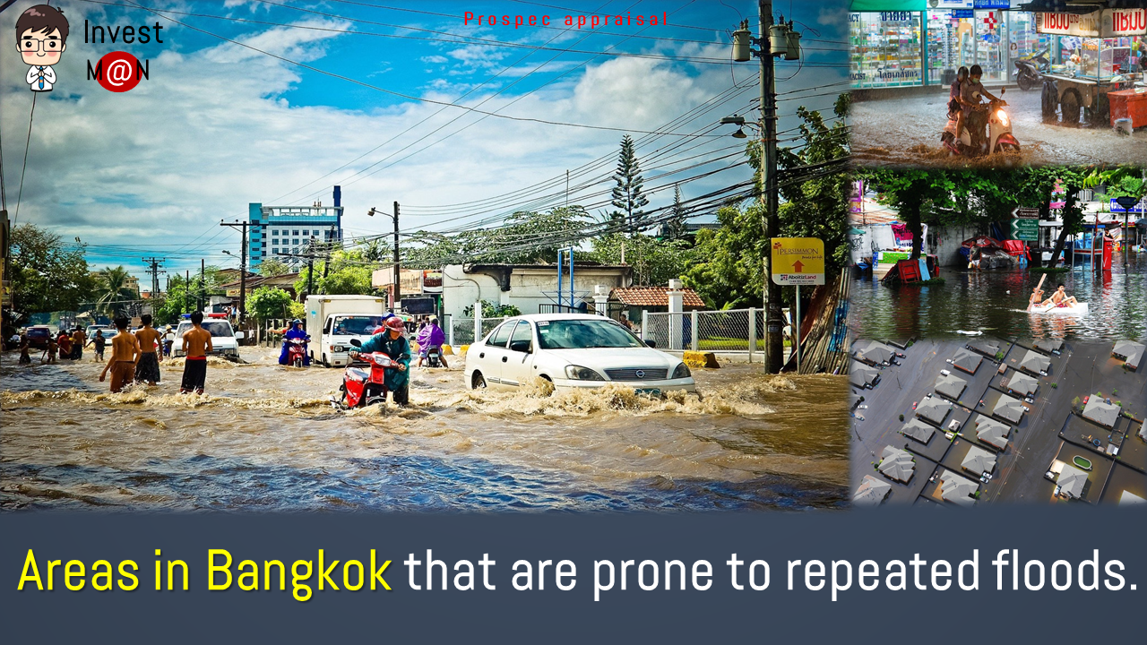
This latest wave of COVID-19 has a severe impact on the lives of every Thai person, not to mention, the overall economy which has plunged deep every since the epidemic broke out. Now, the country is facing another potential curfew that has just been announced in many provinces. Without a doubt, Bangkok is one of the provinces that can be classified as a high-risk red zone. With many unfavorable factors during this period, both public and private sectors will have to try to adapt their strategy for survival in this hostile climate. For example, working from home has now become a normal part of our lives.
Today, InvestMan has an interesting headline, which is in line with the issue of working in this very difficult time. Matichon has reported the latest update of the “LandsMaps” application that the Land Department has been developing for some time in response to the ongoing crisis. Let’s get acquainted with this application and what it can do.
What is the main purpose of LandsMaps ?
To provide services for those who wish to verify the location, photograph of the land plot or satellite image of the land to be used for various transactions. Previously, this process could only be done in person at the Land Department of each district. LandsMaps offer much more flexibility in terms of accessibility which is more convenient. Public now can access these information through the website or on their mobile phones via the “LandsMaps” application.
Background behind the development of LandsMaps
The development of LandsMaps was supported and funded by the governments who envisioned the need for public sectors to start adapting and improving their services in the digital world, in accordance to Thailand 4.0 policy. In the past, any process involving the government organizations usually took a long time.

What information can LandsMaps provide ?
LandsMaps uses satellite image data in conjunction with Google Maps service to import land data at present, covering more than 34 million plots of land across the country. The application shows all 14 basic information, including area, tonnage number, land number, title deed number, land survey page, land office, phone number, government appraisal prices, tax fees, the city planning & land use, etc. In addition, the system can display both Thai and English.
Who benefits from LandsMaps ?
Of course, the main beneficiaries from this development are those who have the need to access these land data, no matter, if they are for personal use, transaction or business matters. Professions related to real estate often involve the verification of land, such as property appraisers. The inspection of land title documents is one of the most important steps in the appraisal.
In conclusion, LandsMaps arrived at the perfect time. Prospec as an appraisal company has relied heavily on the use of this application in our daily business operations. In addition to reducing the commuting to minimize the risk of COVID-19, it also helps reduce travel costs. Anyone who wants to access the application can do so through the website, https://dolwms.dol.go.th or via the mobile application “LandsMaps”.
Credit source: Matichon